I have wanted to check out a creek down by the Cispus River, and was finally able to today. ?Chuck and Becky were able to go with me. ?We met up at 6:00am and after 2 hours of driving ended up parked next to some huge boulders.
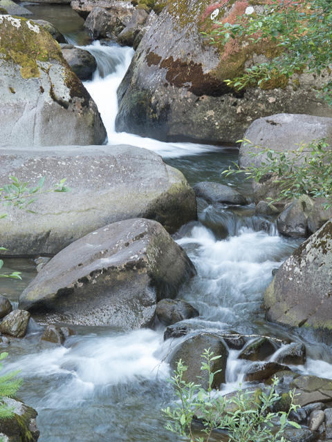
Doesn’t look like there could be gravel here.
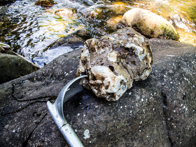
Hiking up the creek it wasn”t long before I found a nice sized rock with a large band of white agate running through it.
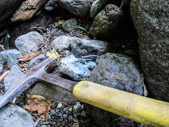
This piece was quite easy to see.
I had never been on this creek,before but it was similar to a lot of the creeks I have explored. ?There were areas of boulder filled rapids followed by log jams with gravel bars on either side of the logs. ?There was also a lot of dead trees and root balls.
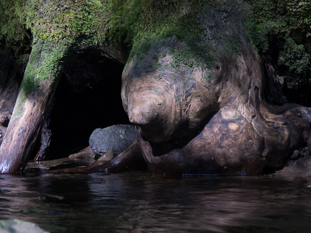
A great looking maple burl.
I was wading in tennis shoes, so I had to be careful to not slip. ?Chuck and Becky were using wading shoes with felt soles, so they didn’t have any problems.
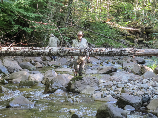
Chuck and Becky checking out the gravel.
We hiked up the creek until about noon, and then did some high grading before heading back to the rigs. ?We had to stop a couple of times to high grade some of our caches. ?Here is one that Chuck decided to break into smaller pieces.
This one had some nice banded agate in matrix, but Chuck didn’t want to carry the whole thing.
Once back at the rigs I snapped this picture of Chuck’s find of the day.
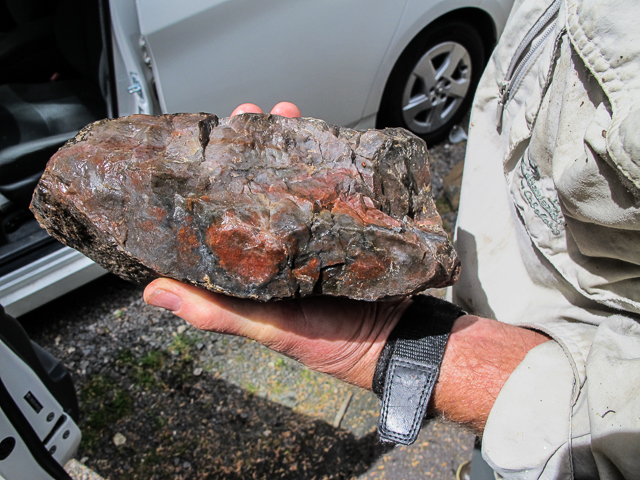
A real nice Jasp/Agate piece.
We checked out one more place, but didn’t find anything worth hauling home. ?Chuck and Becky headed for the beach, while I had one more go at another spot. ?Here is what I found.
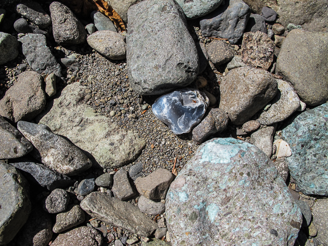
Nice smoky agate.
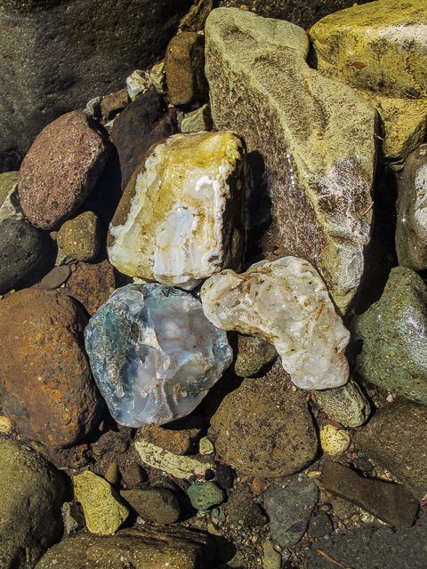
The three large pieces I found in an hour on the creek.
I then headed home, after a day in which I was refreshed and renewed.
Thanks for joining us.
chasfire
Hi, just curious…. I just looked at a map of the fires in Oregon, looks like some are quite close to the Maury Mt. area, have you seen this? since you have been to the area, could you confirm if the fires are in that area? I love the finds on this post above) very nice.
Thank you for your time,
Gene
Gene: It looks like there are two fires burning in the vicinity if Maury Mtn, but both of them are on the north side if the Crooked River. They are not currently threatening any of the areas I have been to. I agree that the finds in the creeks were nice, and plan on going back sometime this summer.
chasfire
here are links that people can use to check on the current wildfire locations and status in OR and WA.
It is quite aways from the Maury Mtn sites and currently NE of Post on USFS lands.
http://www.nwccweb.us/information/fire_info.aspx
http://www.geomac.gov/viewer/viewer.shtml
fosldog: Thanks for the links.
chasfire
Hello we are wanting to go check this area out, where exactly on the Cispus river are you? And exit or a landmark possibly. Thank you.
Erika: I have found material in the Cispus River all the way from the Forest Road 28 bridge(near the Cispus Learning Center) upstream to East Canyon Creek. I usaully start at Randle. Good luck.
chasfire